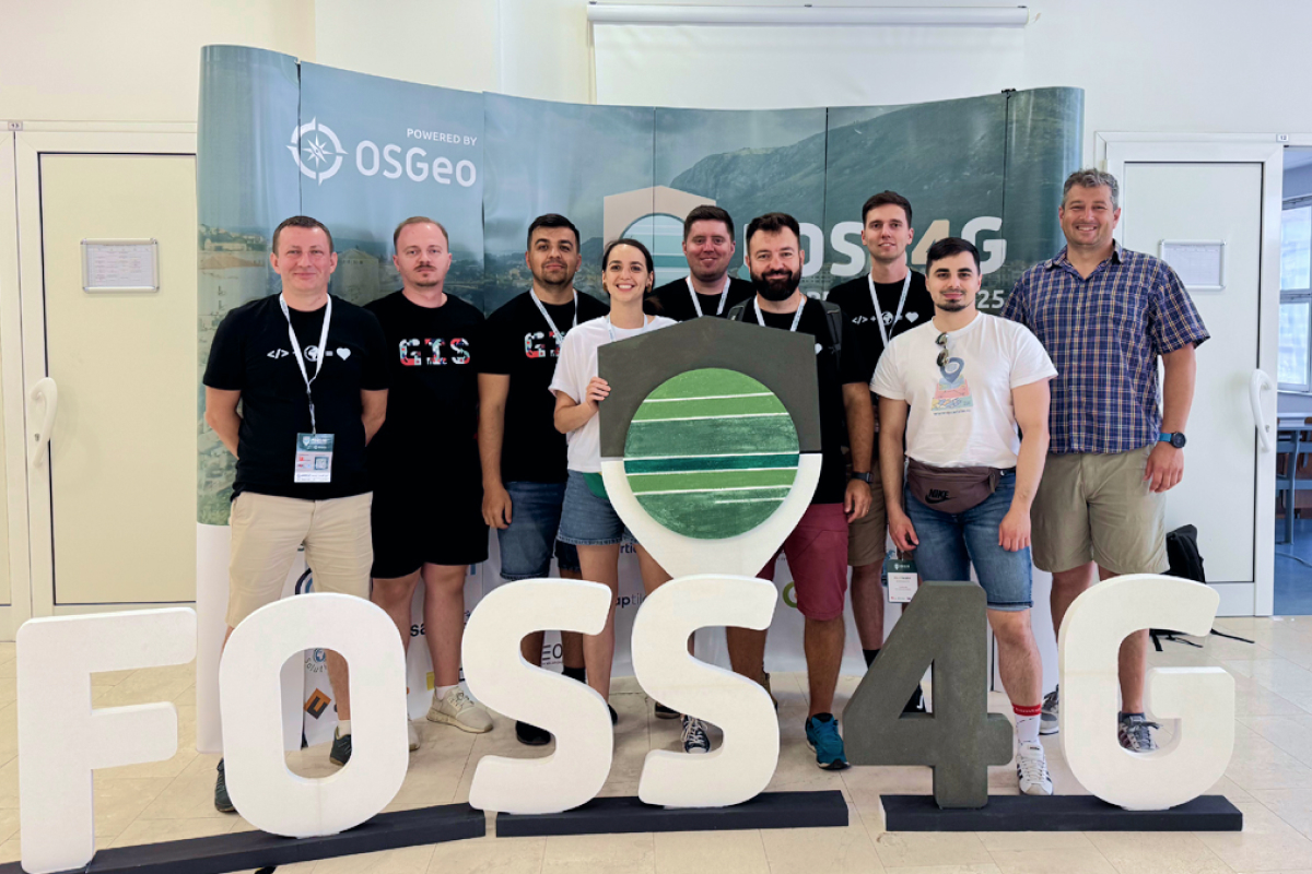
On the Road Together: Highlights from Our 2025 Team Trip
This summer, the Quarticle team took a break from screens and sprint boards and got on the road for a team-building trip that combined time off, fun experiences, and a meaningful attendance at FOSS4G Europe. Starting from our home base in Arad, Romania, we road-tripped through Dubrovnik and made our way to Mostar for a week of open-source geospatial inspiration, great conversations, and community spirit.

Beyond Basics: Understanding GIS Data Processing and Optimization
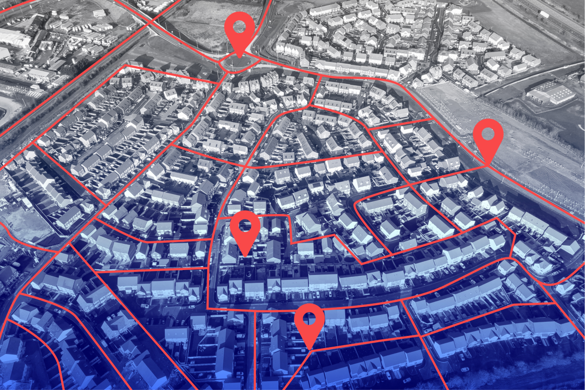
GIS is built on a foundation of spatial data, but knowing the different GIS data types is just the first step. Once you understand the distinctions between vector, raster, point clouds, and tabular data, the next challenge is processing, optimizing, and integrating this data to extract meaningful insights.

From the 2005 Floods to Future Climate Resilience: Key Takeaways from the Mobiliar Lab for Natural Risks Event
On May 19th, 2025, Quarticle had the privilege of attending the Mobiliar Lab for Natural Risks in Bern, Switzerland. Held in the historically flood-prone Berner Matte, the event brought together Swiss climate researchers, insurers, public sector leaders, and technology providers to reflect on past lessons and future strategies in natural hazard management.
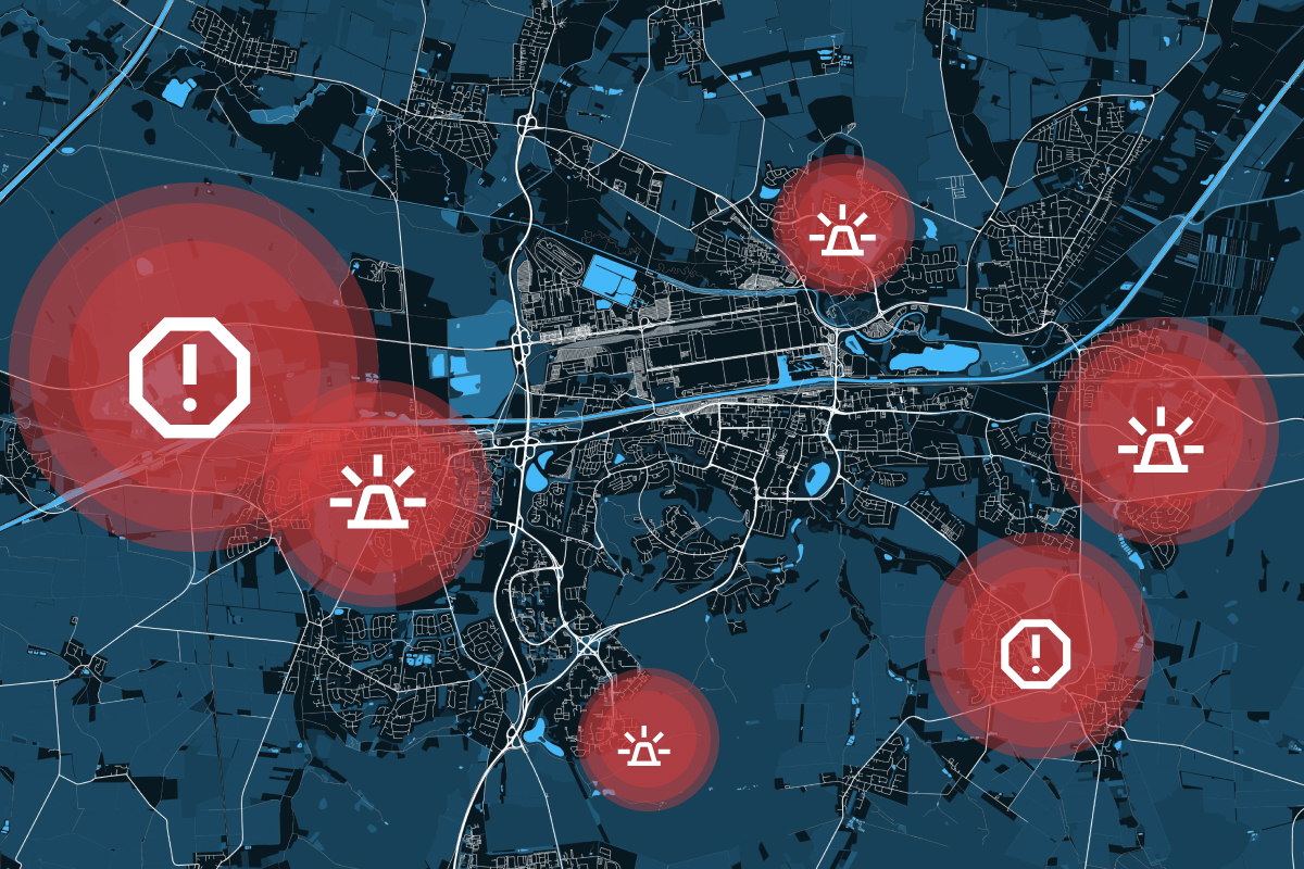
How GIS Supports the Emergency Management Cycle
In disaster management, timing, accuracy, and coordination are everything. Whether responding to floods, wildfires, earthquakes, or industrial accidents, emergency managers must make rapid, informed decisions to minimize damage and save lives. This is where Geographic Information Systems (GIS) play a crucial role.
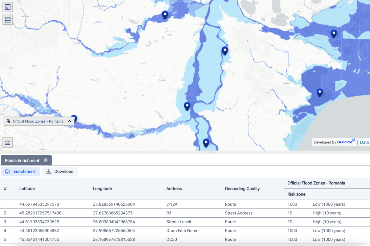
The Cost of Subjectivity: Why Accurate Risk Assessment Is Critical for Insurers
Risk assessment in the insurance and reinsurance industry should be rational and objective. However, human biases, emotions, and subjectivity can unintentionally skew assessments, leading to inaccurate risk evaluations. This results in mispriced policies, inefficient capital allocation, and financial losses.

Geospatial AI and Machine Learning: The Key to Smarter Business Strategies
The rapid evolution of geospatial technology has brought forth a transformative era where Geospatial AI and Machine Learning in mapping are reshaping how businesses and organizations analyze spatial data. Today, GIS solution providers empower clients with spatial machine learning models and predictive spatial analytics to tackle complex challenges, optimize operations, and extract meaningful insights.
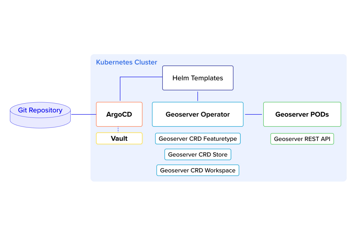
Kubernetes Operator for GeoServer: Quarticle’s Approach to Automation
In the ever-evolving landscape of geospatial technology, automation, and scalability have become critical for managing geo-servers efficiently. In this blog post, we dive into our innovative approach to managing GeoServer Cloud using a Kubernetes (K8s) operator, combined with Helm templates, ArgoCD, and Vault for seamless and reliable automation.
Top Three GIS Trends to Watch in 2025
As we move into 2025, Geographic Information Systems (GIS) continue to evolve, becoming more integral to decision-making processes across industries and offering new capabilities and solutions. Here are the top three GIS trends we believe are going to shape the future.