
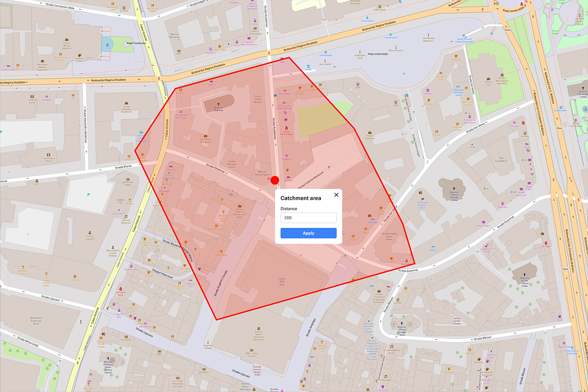
Catchment Area Analysis: An Indispensable Tool for Your Business
In the current world of business strategy, understanding where your customers come from is the key to success. This understanding is closely tied to catchment area analysis, a process that leverages your location information.
7 Reasons Why GIS is Your Competitive Edge in 2024
Businesses integrating GIS into their strategies are better equipped to adapt and thrive in an ever-changing landscape. From efficiency gains to personalized customer experiences and sustainability efforts, GIS is essential for business success in the coming year and beyond.

Delivery address accuracy: A non-negotiable component for success
In the age of online shopping, growing e-commerce markets, and rapid urbanization, having accurate delivery addresses is essential for delivery companies. Whether you are a small local delivery service or a global logistics giant, the accuracy of delivery addresses plays a critical role in the success and efficiency of your business.
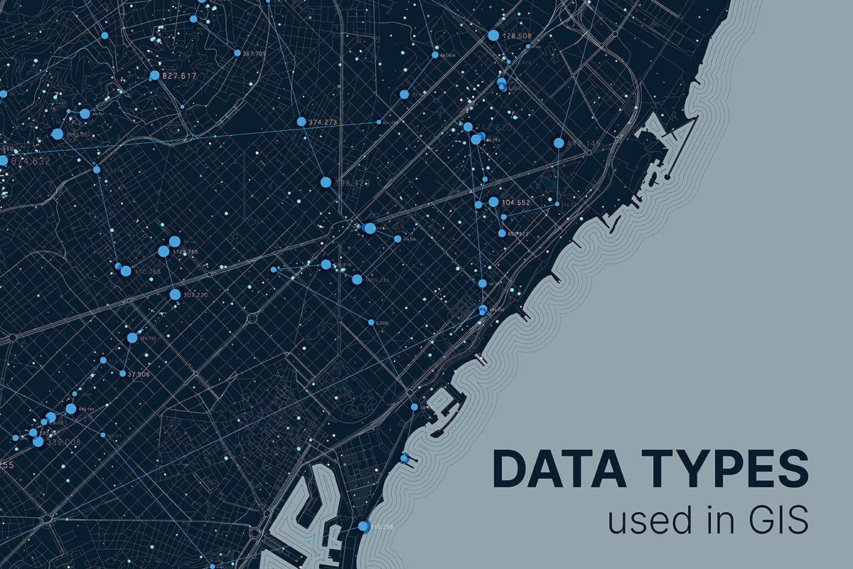
A Comprehensive Guide for Commonly Used GIS Data Types
As GIS continues to evolve, the use of various data types becomes increasingly critical for effective spatial analysis and decision-making. Understanding the characteristics, strengths, and applications of commonly used GIS data types empowers professionals across diverse industries to leverage geospatial data to its fullest potential.

Three use cases where location intelligence is crucial for decision-making
Among many digital technologies, GIS technology stands out for its distinctive ability to intertwine data with location. This unique feature ushers in a wave of digital transformation across diverse sectors, offering a multitude of applications for businesses.

Harnessing GIS and Location Intelligence to Mitigate Heatwaves and Droughts
The constant threats from heatwaves and droughts severely impact societies and nations at large and their spread throughout the world is increasingly worrying. These extreme weather events can have devastating effects on ecosystems, agriculture, public health, and urban infrastructure.
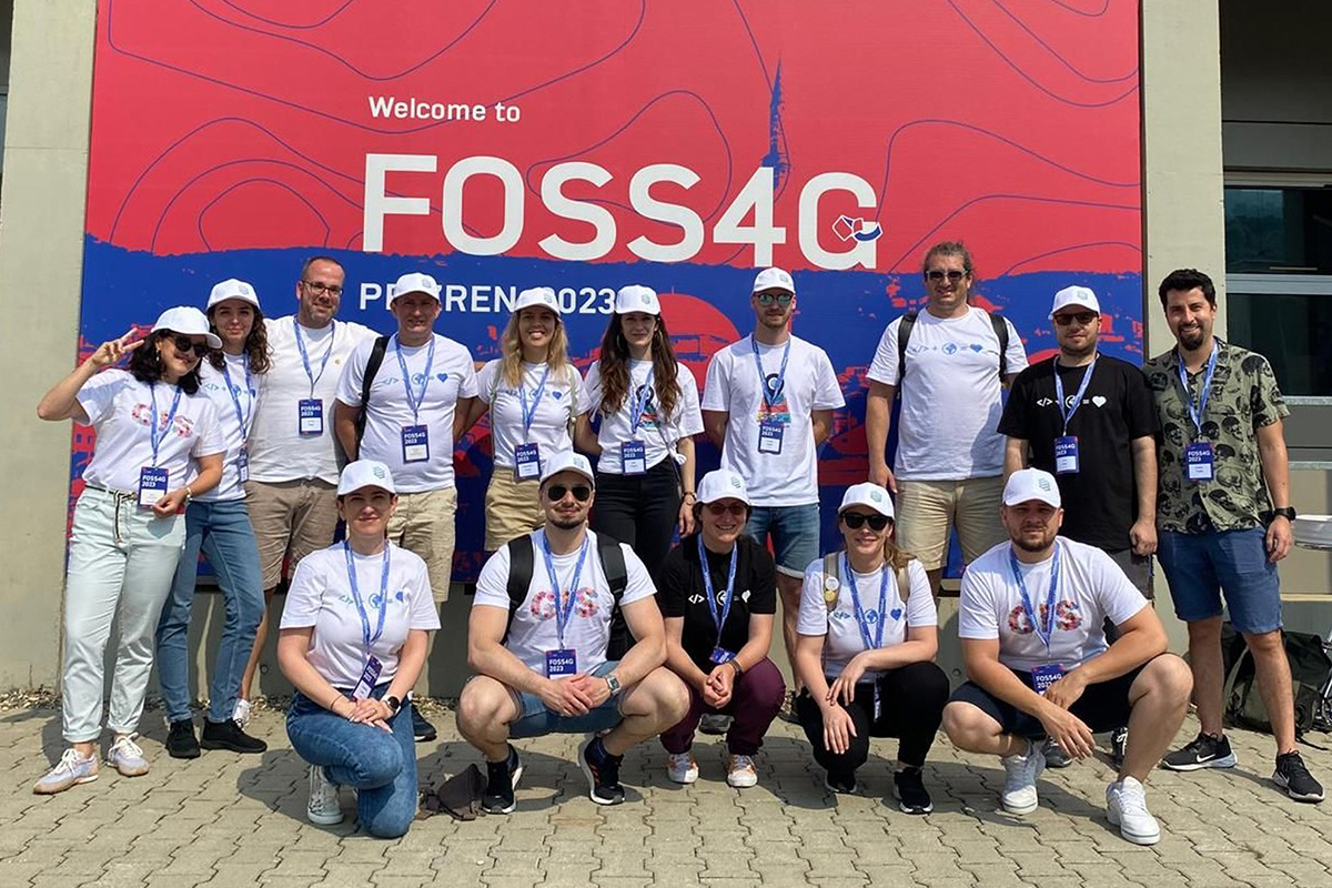
Scaling New Heights: The 2023 Quarticle Team Building Adventure
Every day at Quarticle is an opportunity to get excited about our work and the impact we have on our team, clients, and society at large. As we embody this core value, we always strive to not only strengthen the bonds among our colleagues but also foster a continuous collaborative and cohesive work environment.
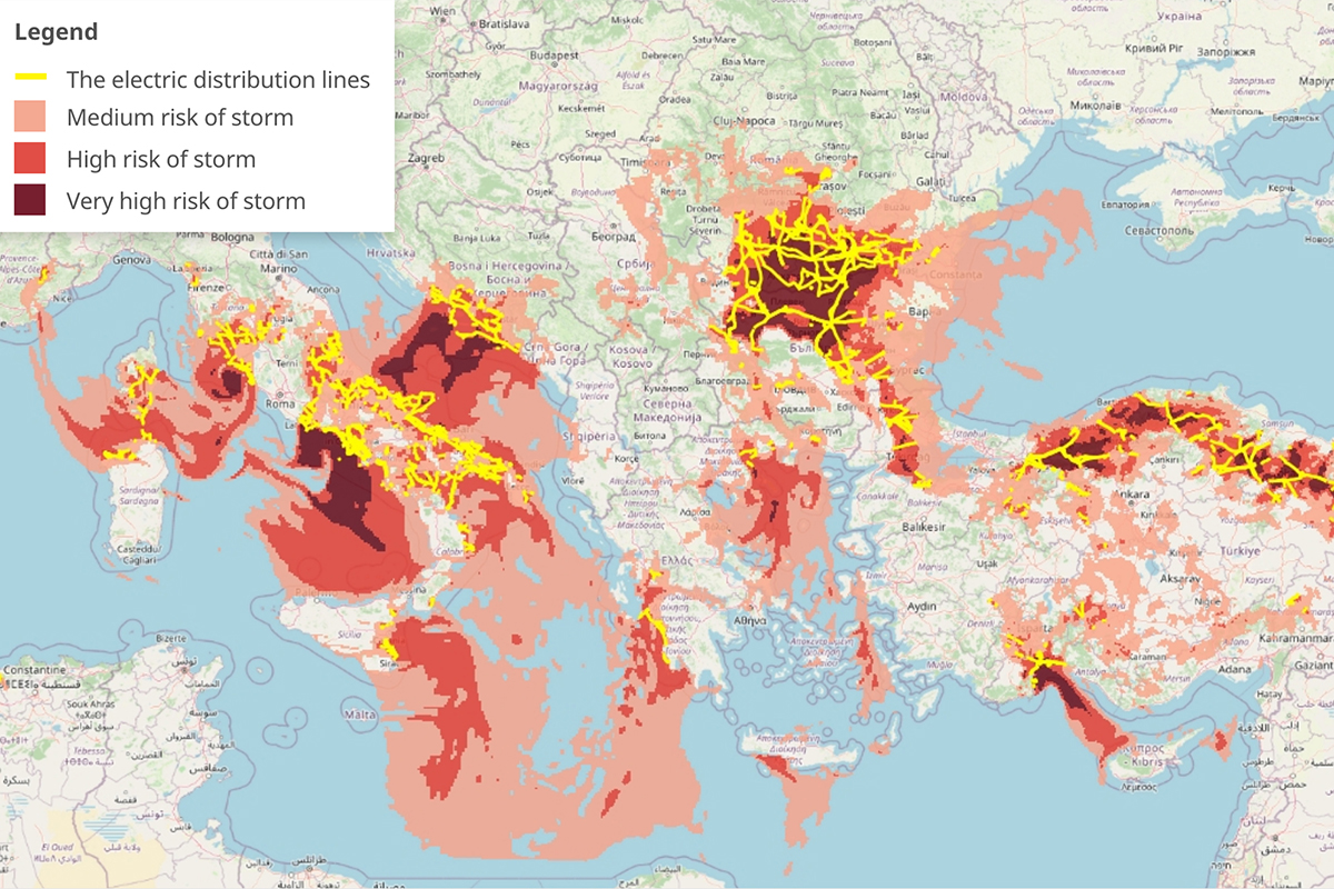
Using severe weather predictions to forecast power lines damages
Almost all of our day-to-day activities heavily depend on electricity and power usage, from telecommunications and transportation to different forms of entertainment and leisure activities. However, the electricity supply can be unexpectedly interrupted by
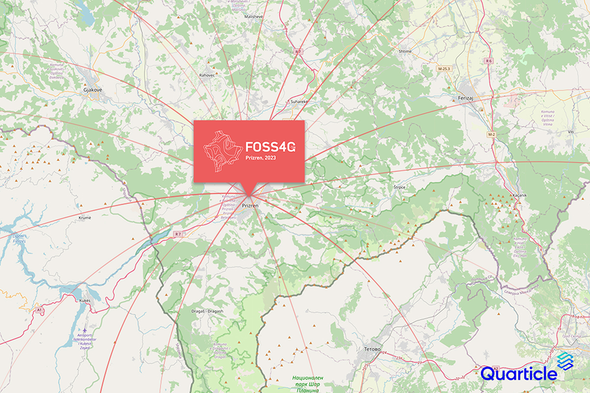
Join Quarticle at FOSS4G 2023 as we sponsor a community of innovation
Mark your calendars! This year, between June 26th and July 2nd, the Quarticle team is sponsoring and speaking at FOSS4G, the international annual gathering of location enthusiasts and the largest global gathering for geospatial software. Will we